Our Mission & Understanding Our Flood Control System
Learn more about how nine dams upstream of Lampasas protect tens of thousands of people and billions in property. The Lampasas County WCID #1 operates the network of floodwater retarding structures upstream of Lampasas that have prevented major flooding since their completion in 1961. Before these dams, Lampasas flooded repeatedly — sometimes catastrophically. They remain a vital safeguard for our community today.
but first… the history
How Floodwater Retarding Structures Work
How Floodwater Retarding Structures Work
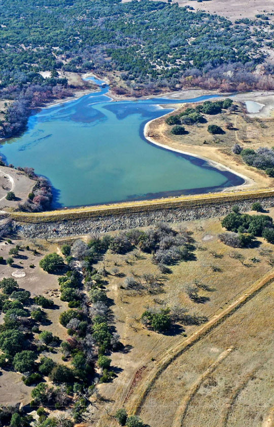
The nine structures operated by the WCID are called Floodwater Retarding Structures (FRS), sometimes called flood water prevention sites. They are not designed to hold water year-round. Instead, they are engineered to capture and slow the massive surge of water that occurs during a significant storm event.

How It Works In A Storm
Capture
Capture
During a major rain event, Sulphur Creek and its tributaries collect runoff from approximately 133 square miles of watershed west and northwest of Lampasas. Without the dams, all of that water funnels into the city simultaneously.
Release
Release
The nine dams capture and hold the surge, releasing it gradually so the creek can carry it safely through town — the difference between a manageable rain event and a disaster.
9 Floodwater Retarding Structures
The nine dams — referred to as FRS 1 through FRS 9 — are located upstream of Lampasas on private property. The land remains in the names of private landowners; the WCID holds easement rights to operate and maintain the structures. Each original landowner accepted the proposed project at no charge to the WCID.


